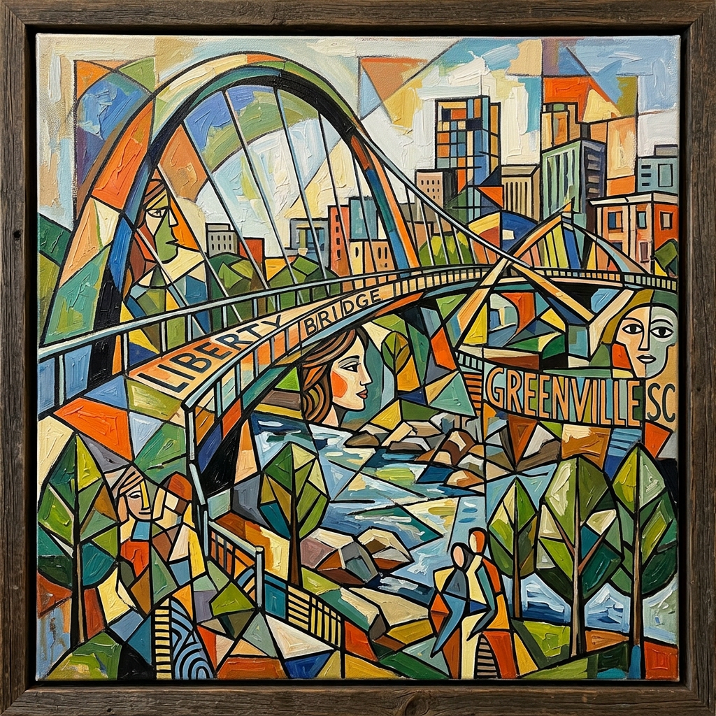
There are parts of Greenville that feel like they’ve always belonged together.
Downtown.
The parks.
The places people point to when they talk about how far the city has come.
And then there are the other parts.
The neighborhoods you don’t end up in by accident.
The streets that don’t connect the way you expect them to.
The invisible lines you don’t notice—until you do.
Lines You Can’t See
Most cities have them.
Lines that aren’t marked on any official map, but show up in where people live, where money flows, where investment happens—and where it doesn’t.
Greenville is no different.
You can drive just a few minutes in almost any direction and feel the shift.
Not dramatic.
Just enough.
Different houses.
Different roads.
Different expectations about what a place is supposed to be.
What makes it easy to miss is how close these worlds are to each other.
How Those Lines Got There
Those lines didn’t appear by accident.
They were built—over time, through decisions that made sense in the moment and added up into something much larger.
In the early 20th century, as Greenville grew, segregation wasn’t just a social reality. It was reinforced through policy, planning, and everyday practice.
Black residents were pushed into specific neighborhoods—sometimes by law, sometimes by lending practices, sometimes by barriers that didn’t need to be written down to be understood.
At the same time, white Greenville expanded differently—through investment, infrastructure, and access.
This wasn’t unique to Greenville.
But it was real here.
A System, Not a Moment
It’s easy to think of segregation as something that happened in a specific era—something that ended and was left behind.
But it wasn’t just a moment.
It was a system.
One that shaped:
where people lived
where businesses formed
where schools were built
how wealth moved—or didn’t
And systems don’t disappear all at once.
They fade.
They shift.
They leave patterns behind.
What Grew Inside the Constraints
Even inside those limits, people built lives.
Black communities in Greenville developed their own institutions—churches, businesses, schools, and networks of support that held things together when the larger system didn’t.
There was resilience.
There was creativity.
There was a kind of progress that happened despite the structure, not because of it.
And that matters.
Because the story isn’t just about what was taken.
It’s also about what was built anyway.
The Tension
By the mid-20th century, those two realities were starting to collide.
The civil rights movement didn’t skip Greenville.
Protests, legal challenges, and pressure from both inside and outside the city began to push against the system that had been in place for decades.
Some people resisted change.
Some pushed for it.
And like everything else in this city’s history, it wasn’t simple.
Progress happened.
But not evenly.
Not cleanly.
And not without cost.
What Changed—and What Didn’t
Over time, legal segregation ended.
Opportunities expanded.
The city began to shift.
But the lines didn’t disappear.
They softened in some places.
Deepened in others.
Changed shape.
And in Greenville, if you know where to look, you can still see where they settled.
Neighborhoods like Nicholtown remain some of the most well-known historically Black communities in the city—not because separation was chosen, but because for a long time, it was structured.
Other areas, like Berea, tell a different version of the same story—more mixed, often lower-income, shaped by uneven investment and opportunity over time.
And if you step back and look at the larger picture—housing patterns, income levels, school zones across Greenville County Schools—the lines become easier to trace.
Not as rules.
Not as something written down.
But as outcomes that repeat themselves.
Part of what makes these patterns harder to see is how the city is structured.
Greenville isn’t just one system. It’s a mix of city and county decisions layered together in ways that don’t always align cleanly with Greenville County.
Schools are county-wide.
Growth often centers around the city.
Investment, infrastructure, and zoning don’t always follow the same lines.
Which means the map isn’t just shaped by where people live.
It’s shaped by how the system itself is organized.
You can leave downtown, drive ten minutes in almost any direction, and feel the shift.
Not dramatic.
Just enough.
The Modern Version
Today, the language is different.
No one talks about segregation the way they used to.
But the outcomes can still feel familiar.
Some areas grow quickly.
Others wait.
Some neighborhoods attract attention and resources.
Others struggle to be seen.
Not because of a single decision.
But because of many decisions layered over time.
Sometimes the same forces that bring growth also determine who gets included in it—and who doesn’t.
This Isn’t About Blame
Cities aren’t shaped by single decisions or single people.
They’re built over time—through policies, priorities, investments, and assumptions that accumulate into something larger than any one moment.
Understanding that isn’t about assigning blame.
It’s about seeing the full picture.
Because if we treat these patterns like accidents, we miss the chance to understand how they formed—and how they continue.
The Question That Remains
Greenville has changed.
That’s undeniable.
But change doesn’t automatically mean resolution.
So the question becomes:
Are we building something new—
or continuing something older in a different form?
Final Thought
A city isn’t just shaped by what it builds.
It’s shaped by how it connects—or doesn’t.
By the lines it draws.
And by whether those lines fade, shift—
or remain where they’ve always been, just harder to see.
Part 1: A City Divided
https://fulcrumandaxis.com/2026/05/09/seen-unseen-greenville-a-city-divided/Part 2: The Hidden Origins of Segregation
https://fulcrumandaxis.com/2026/05/09/seen-unseen-greenville-the-hidden-origins-of-segregation/Part 3: The Map of Schools
https://fulcrumandaxis.com/2026/05/09/seen-unseen-greenville-the-map-of-schools/

Leave a comment