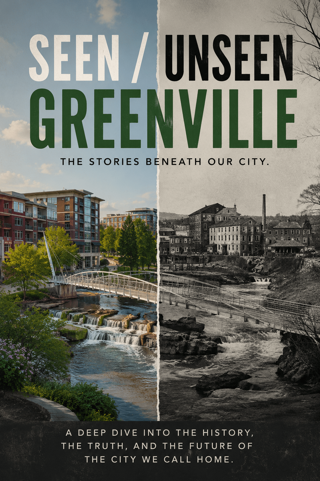
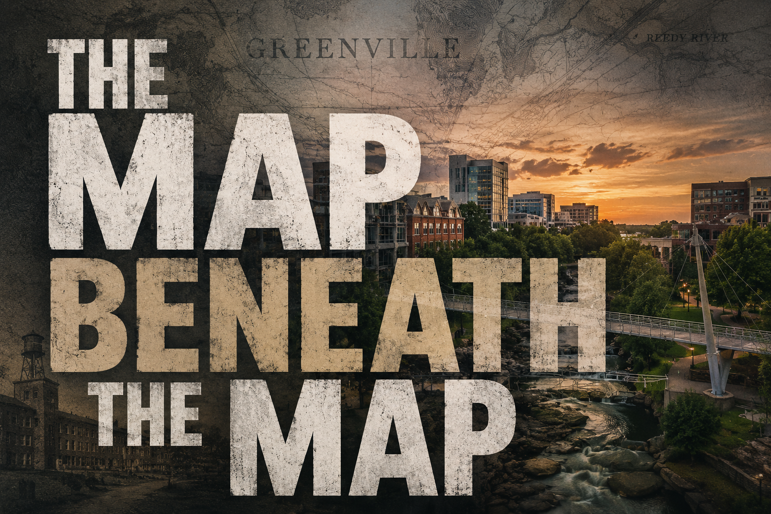
Welcome to The Map Beneath the Map- a historical branch of Seen / Unseen Greenville exploring the older layers underneath modern Greenville
When most people think about Greenville, they think about the version they can immediately see.
Falls Park. Main Street. The bridge. The restaurants. The polished downtown that shows up in tourism campaigns and Instagram posts.
And to be fair, that version of Greenville is real. It took decades of investment, redesign, planning, and civic energy to create the modern city people now associate with Greenville.
But the more I’ve worked on this Seen / Unseen Greenville project, the more I’ve started realizing something important:
Greenville did not begin with the version we see now.
Modern Greenville is really just the newest visible layer sitting on top of much older systems, patterns, and inherited ways of moving through the land. Cities accumulate over time. They rarely erase themselves completely and start over. Instead, they build on top of older structures until multiple versions of the same place begin existing at once.
Before there was a downtown Greenville, before there were mills, highways, zoning maps, or development plans, this land already had a structure and logic to it.
The Cherokee understood the rivers, ridges, crossings, and movement corridors of this region long before settlers arrived. The Reedy River mattered before Falls Park existed. The foothills mattered before they became scenery. Movement through this region followed geography before it followed roads.
That may sound obvious at first, but I think modern people often underestimate how much cities inherit from the land underneath them.
The river was never important simply because it looked pretty. Water meant movement, crossing points, food, and reliable paths through difficult terrain. Even now, many roads and traffic patterns through Greenville still feel strangely “natural” because they continue following older geographic logic shaped by rivers, ridges, crossings, and terrain people understood centuries ago.
The roads remember more than we think they do.
And Greenville inherited those systems rather than inventing them.
That pattern repeats itself throughout the city’s history. The frontier settlement inherited the geography. The mills inherited the rivers. The railroads inherited movement corridors. The suburbs inherited the automobile economy. Even modern downtown revitalization inherited the surviving center of the older city rather than creating something entirely new.
Each version of Greenville emerged from the systems before it.
Which means older Greenvilles never fully disappear. They just become harder to see.
Underneath the modern downtown is the old mill city that shaped huge parts of the Upstate for generations. Underneath the polished restaurants and revitalized public spaces are older industrial systems, mill villages, labor struggles, and economic structures that determined where people lived, worked, and built communities.
Underneath that are the racial and geographic divisions created through segregation, zoning decisions, lending practices, school systems, and uneven investment that still influence the city today, even when people no longer talk about them directly.
And underneath all of that is the older geographic reality that made this place important in the first place:
the river,
the crossings,
the foothills,
the useful ground people kept returning to generation after generation.
That is part of why I called this series Seen / Unseen Greenville.
Every city has visible systems and inherited systems operating at the same time. Some are easy to photograph. Others become so embedded into daily life that people stop noticing them entirely.
Street layouts.
Neighborhood divisions.
Traffic patterns.
Economic corridors.
Even the emotional identity of different parts of town.
Most of those things did not emerge randomly. They accumulated slowly over time.
And honestly, I think understanding Greenville requires looking at all of those layers together instead of pretending the current version of the city appeared out of nowhere.
Because modern Greenville is not a single city.
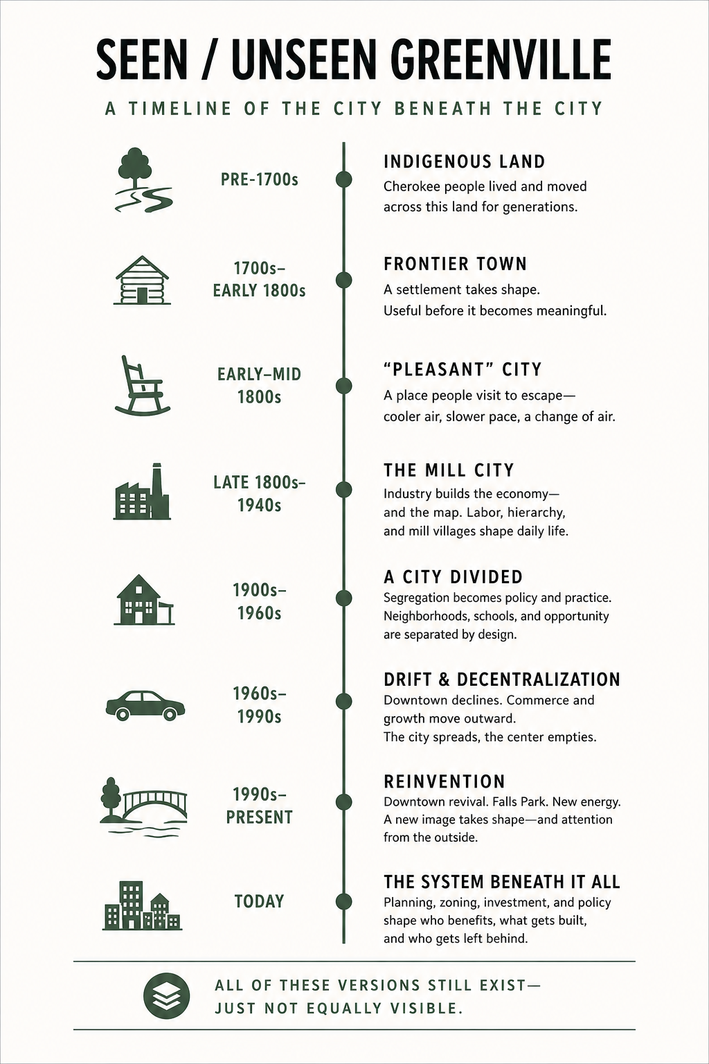
It is multiple Greenvilles existing at once:
the old mill city,
the suburban city,
the revitalized city,
the tourism city,
the working-class city,
and the future city people are trying to build now.
All of those versions still shape Greenville at the same time.
They are just not equally visible.
That is what this project is really about.
Not proving Greenville is secretly broken.
Not pretending the past was better.
Not attacking growth or revitalization.
It is about learning how to see the layers underneath the surface.
Because the Greenville most people know today is only the newest version.
And underneath it are older cities that still shape the place we live in now.
Seen / Unseen Greenville and the Map Beneath the Map series is an attempt to trace those layers backward through time—and understand what they still mean today.

Leave a comment